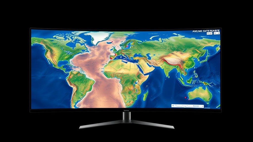
Open-source satellite imagery platforms provide free, high-quality geographic data that you can access and use for various projects. They enable you to monitor environmental changes, urban development, or climate patterns without relying on costly proprietary sources. With open licensing and community support, you can customize and share data easily, fostering innovation. While some limitations exist, understanding these helps you make better decisions. Keep exploring to discover how these tools can empower your work and ideas.
Key Takeaways
- Open-source platforms provide free, accessible satellite imagery tools for diverse applications like environmental monitoring and urban planning.
- They leverage data from reputable agencies such as NASA and ESA, ensuring high-quality and reliable imagery.
- These platforms support flexible data licensing, enabling users to use, modify, and share imagery freely.
- Community-driven development enhances platform capabilities, offering tutorials, shared insights, and ongoing improvements.
- While some may have lower resolution or update frequency, transparency allows users to account for limitations effectively.

Open-source satellite imagery platforms have revolutionized how individuals and organizations access and analyze geographic data. Instead of relying on costly proprietary sources, you now have a variety of free tools at your fingertips that provide detailed satellite images for numerous applications. These platforms democratize access to geographic information, making it easier for you to monitor environmental changes, plan urban development, or conduct research without large budgets. One of the key advantages is the flexible data licensing offered by many open-source platforms. Unlike traditional data sources that often impose strict usage restrictions or licensing fees, open-source options typically allow you to use, modify, and share data freely. This openness accelerates innovation, enabling you to incorporate satellite imagery into custom projects, educational initiatives, or commercial endeavors without the fear of licensing violations. Additionally, many open-source platforms integrate community-driven tools that improve usability and expand functionality through collaborative development. When considering satellite data accuracy, you might wonder if open-source platforms can match the reliability of commercial providers. The good news is that many open-source satellite imagery sources utilize data from reputable space agencies like NASA or ESA, which maintain high standards for data quality. While open-source platforms may sometimes have slightly lower resolution or less frequent updates compared to premium services, they still offer substantial accuracy suitable for a wide range of applications. For instance, you can track deforestation, analyze urban sprawl, or study climate patterns with confidence, thanks to the robust calibration and validation processes employed by many open-source providers. Moreover, the transparency of data sources allows you to understand the limitations and potential inaccuracies inherent in the imagery, helping you make informed decisions. Using open-source satellite imagery platforms also means you’re actively participating in a community-driven ecosystem. You can access tutorials, share insights, and contribute to improving the data or tools available. This collaborative environment helps you stay updated with the latest advancements in satellite technology and data processing techniques, ultimately enhancing the accuracy and usefulness of the imagery you use. Whether you’re a researcher, student, or developer, you benefit from the collective effort to improve data quality and expand the capabilities of open-source platforms.
Frequently Asked Questions
How Secure Are Open-Source Satellite Imagery Platforms From Cyber Threats?
You might wonder about the cybersecurity risks of open-source satellite imagery platforms. While they promote transparency and collaboration, their open nature can expose them to cyber threats if not properly secured. To protect data integrity, you should implement strong security measures like encryption and access controls. Regular updates and monitoring are essential to defend against vulnerabilities. Overall, with proper safeguards, these platforms can be quite secure from cyber threats.
Can These Platforms Be Used for Real-Time Disaster Response?
Imagine you’re a firefighter with a digital hose, ready to douse flames in real time. Open-source satellite imagery platforms act like that hose, providing vital data during disasters. You can use crowdsourced validation to verify info quickly, while automated analysis speeds up response times. This synergy helps you respond faster and more accurately, making these platforms powerful tools for real-time disaster management, helping save lives and property when every second counts.
What Are the Licensing Restrictions on Open-Source Satellite Data?
You should know that licensing restrictions on open-source satellite data focus on intellectual property rights and data redistribution. Typically, these licenses promote free use, sharing, and modification, but some may require attribution or restrict commercial use. It’s essential that you review each license to understand any limitations. By respecting these restrictions, you ensure proper use and help maintain the openness and accessibility of satellite imagery for everyone.
How Do Open-Source Platforms Compare to Commercial Satellite Imagery Providers?
You’ll find that open-source platforms often provide greater user accessibility and community support, making it easier to access and use satellite data. While commercial providers may offer higher data accuracy and specialized services, open-source options are cost-effective and flexible. This allows you to experiment and customize your projects more freely, though you might need to verify data quality yourself. Overall, it’s a trade-off between accessibility and precision.
Are There Global Coverage Limitations on Open-Source Satellite Imagery Platforms?
When it comes to global coverage limitations, you might hit a few snags. Coverage gaps can exist due to satellite positions, cloud cover, or data resolution constraints. Open-source platforms often provide impressive data, but they’re not perfect. You’ll find areas with less frequent updates or lower resolution, making it feel like chasing shadows. Keep in mind, no system is flawless, but open-source options keep improving and expanding their reach.
Conclusion
So, you might think open-source satellite imagery platforms are the ultimate solution for transparency and innovation. But don’t be fooled—while they promise democratized access, the complexity and data overload can make you feel more like a spy than a scientist. Ironically, the very tools meant to empower often leave you lost in a sea of information, reminding you that even in open-source worlds, some secrets are better left unseen.


